En la anterior bitácora del 5 de septiembre de 2009 hablaba de 2 alineamientos consecutivos.
Pongo el mapa de Navionics.

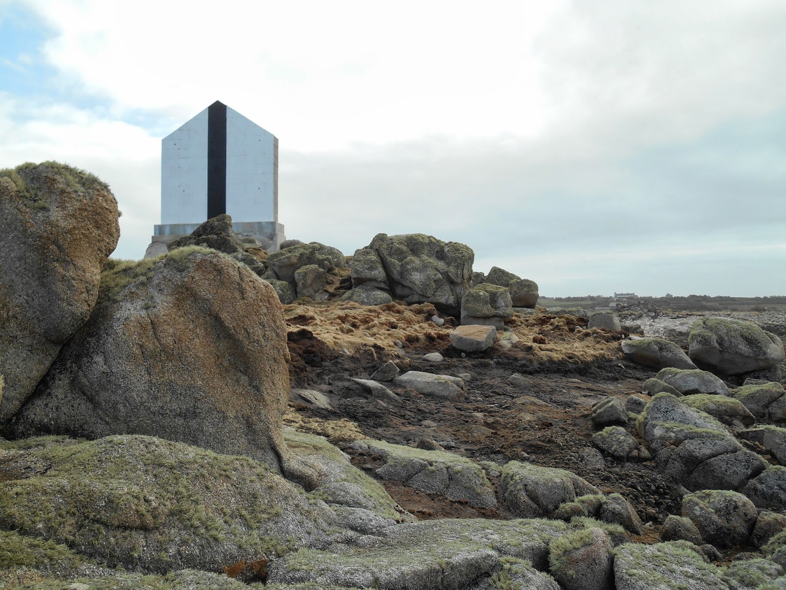
1.7 miles west of Mincarlo and on the alignment of the disused white lighthouse on St Agnes with the white and black stripe pointed wall situated ½ a mile in front on Tins Walbert islet. This leads in on a bearing of 127° T.

En la misma descripción de eOceanic del North West Passage (Scilly) se cuenta muy bien la importancia de este alineamiento:
Long before the Steeple Rock – West Cardinal is reached the leading marks will be visible.
This is a disused white lighthouse, standing on the highest point of St Agnes, in line with a pointed stone wall, white with a black stripe and situated ½ a mile in front on Tins Walbert islet.
Inline these present a bearing of 127° T, as best seen on a chart.
It is important to pick up the alignment and the helm should continuously monitor for cross-track error as strong turbulence can be experienced to the northwest of Steeple Rock when the current streams northwestwardly during spring tides.
Como se comenta el faro de St Agnes ya no funciona (disused)... ahora es un hotel :-)
- - -
No hay comentarios:
Publicar un comentario